Showing posts with label Waitemata harbour. Show all posts

27 June 2015

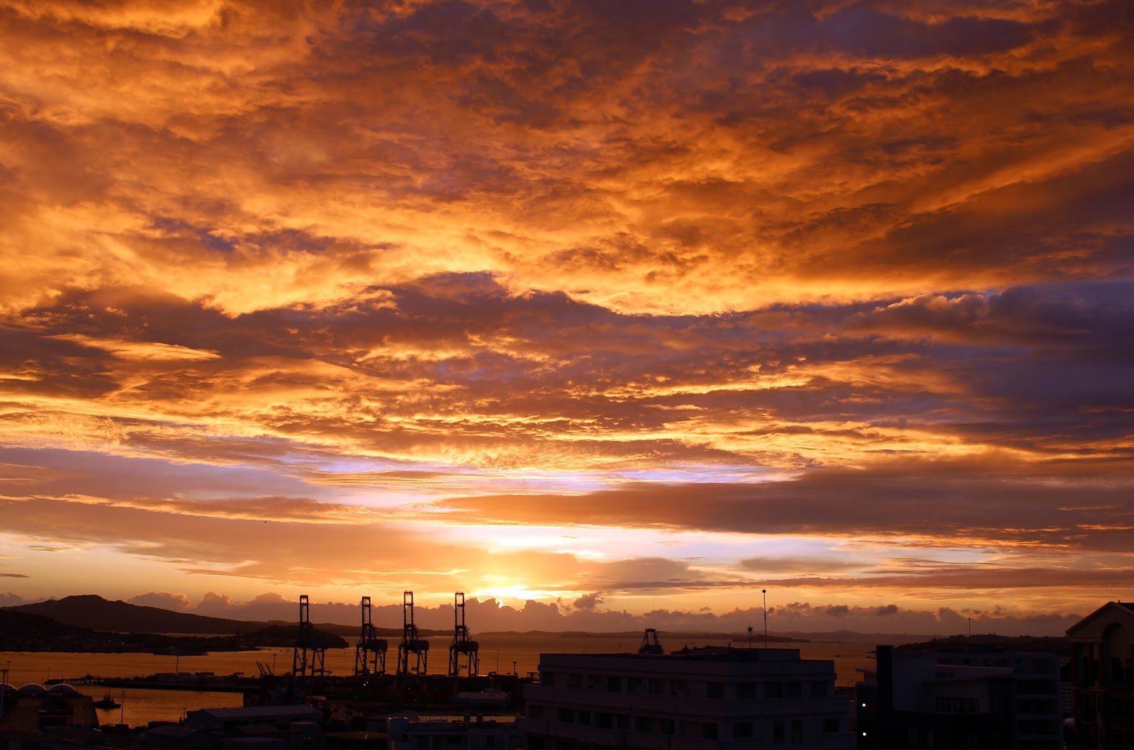
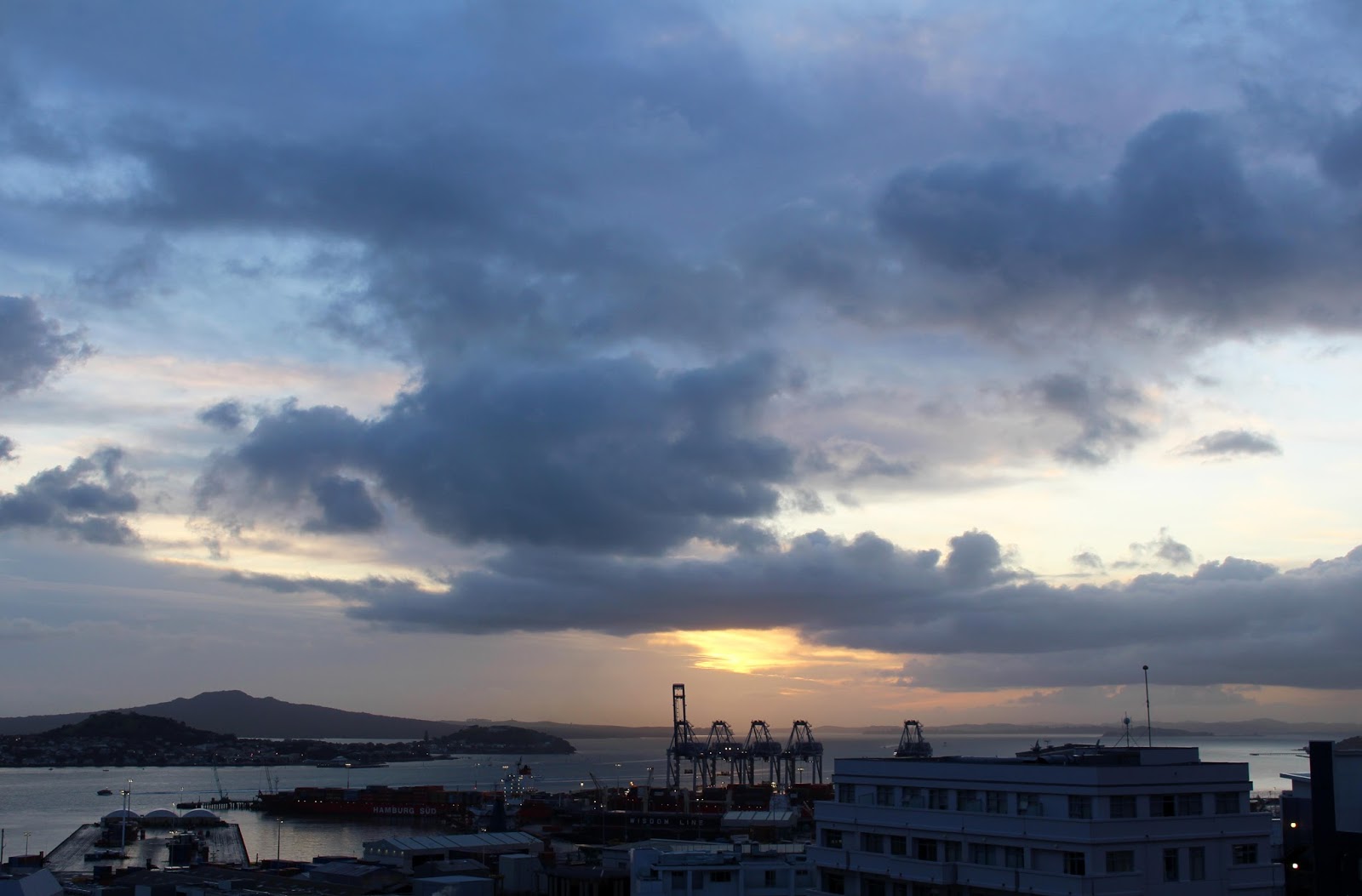
Morning glory: the sun rises over Auckland

Sunrise, sunup, dawn, daybreak, cockcrow, first light, the crack of dawn, aurora, the dawning … as usual, the English language uses several different words and phrases to describe that time when the dark of night is replaced by the light of the day.

Whatever you prefer to label it, this is my favourite time of each and every day. It is a time of fresh promise and potential, a time of renewal and hope, a time of beautiful light.

Over the last couple of months, as I’ve been preparing to leave New Zealand for a new start in another country, I’ve been photographing the sunrise from the balcony of my 9th-floor apartment in central Auckland. Here are some of those images.


‘What breaks in daybreak? Is it the night? Is it the sun, cracked in two by the horizon like an egg, spilling out light?’ ~ Margaret Atwood


‘Morning glory is the best name, it always refreshes me to see it.’ ~ Henry David Thoreau


‘And even the sun / in dawn chorus sings, / a celestial melody to the earth / below.’ ~ Tjaden


‘When you arise in the morning, think of what a precious privilege it is to be alive - to breathe, to think, to enjoy, to love.’ ~ Marcus Aurelius


‘The breeze at dawn has secrets to tell you. Don’t go back to sleep.’ ~ Rumi


‘There's a sunrise and a sunset every single day, and they're absolutely free. Don't miss so many of them.’ ~ Jo Walton


‘It is well to be up before daybreak, for such habits contribute to health, wealth, and wisdom.’ ~ Aristotle


‘Even the darkest night will end and the sun will rise.’ ~ Victor Hugo, Les Misérables

25 January 2014

Auckland walks: Orakei Basin

It has been an absolute cracker of a day here in Auckland for the start of our Anniversary Day holiday weekend so I was out early for a long walk … and it was a long walk – just over three hours from go to whoa. I was hot and thirsty and my feet were a bit sore by the time I got home but it was simply wonderful!

I’d been meaning to check out the Orakei Basin walkway for some time but hadn’t ventured quite that far. Of course, I could have caught the train to Orakei station or a bus to various points nearby but I was determined to walk all the way which, as you can see from this map, is quite a distance for me. The basin walk itself is supposedly 4 kms so I figure my walk was around 15kms all up – no wonder my feet got a bit sore!

From home I headed down Constitution hill – a walk back UP it does your constitution the world of good! – then up through Parnell village with a slight detour off Parnell Road to photograph some streetart I’d spotted on a previous day.


From the top of Parnell I turned left by the Cathedral then headed down Brighton Road to join the Hobson Bay walkway at the bottom. This is quite a short walkway, covering just a small part of the bay’s coastline – hopefully it will be extended and completed in the not too distant future.


Mangroves grow in the mud on one side of the path, which runs firstly alongside Thomas Bloodworth Park, then the Shore Road Reserve. There are good views back towards the city centre, with the Sky Tower its perpetual marker, and across the Waitemata harbour towards Mt Victoria in Devonport, North Head and Rangitoto Island – extinct volcanoes all. I had to get back on the pavement for the steep trudge up Shore Road, then turned left down Victoria Ave to rejoin the coastline walkway. Here there is a sandy beach, with lots of scallop shells, and a kingfisher flew in to perch on the end of the short jetty.


The walkway continues along a boardwalk through the mangroves and past the sports fields at St Kentigern College, before once again rejoining Shore Road. I didn’t stop but, if you were feeling thirsty or peckish at this point, you could stop off at Café Greenfingers, at Palmer’s Garden Centre, though a quick google produced some fairly average reviews. I continued across the roundabout and up the appropriately named Upland Road a short walk to the start of the Orakei Basin walkway.


Orakei Basin is the crater of one of Auckland’s 50-odd extinct volcanoes. According to Hayward’s Volcanoes of Auckland, ‘Orakei Basin is a large, 800-metre-diameter explosion crater which erupted on the side of Purewa Creek about 85,000 years ago’.

I expected the Basin walk to be entirely flat but it is, in fact, a mix of flat areas and steep bits, both paths and steps, so it provides a good cardio workout, especially if you keep up a good pace. The first part of the walk took me along a flat grassy area, where locals can unleash their dogs to give them a good run and a swim, then continued through a small area of bush to the clubhouse of the Orakei Water Ski Club, where enthusiasts were out enjoying the perfect weather, practising their twists and turns and somersaults.


The steps up the hill behind the clubhouse were steep, then I crossed the road and headed back on to the track at the other side. A short bridge crosses the Waiatarua arm of the lagoon at this point and the boardwalk continues to ‘shag tree’ – my name for an old tree that today played host to a group of shags, enjoying the early morning sunshine. That necessitated another photo stop.

More steep steps took me up and over another ridge, then down to the boardwalk that runs parallel to the railway line on the eastern side of Orakei Basin. At the end of that boardwalk, I should have stopped for a drink at the Kings Plant Barn café but I decided to keep on.

From there, I walked along Ngapipi Road – the least pleasant part of the walk as the traffic was busy, with many large trucks heading down to the container terminal. But I did spot some oystercatchers hunting for food in the mud at Whakatakataka Bay and then, where a group of old boathouses line up along the waterside of Hobson Bay, a peek between them revealed a group of shags sitting together on a railing, preening – another photo stop. 

Once I reached Tamaki Drive, I turned left and headed back towards the city, alongside the sparkling waters of the Waitemata harbour. Lots of boats were heading out from the Outboard Boating Club of Auckland’s marina to enjoy the perfect weather, and the pavement was busy with lots of other folks out walking and biking. The cool breeze was most welcome as I headed along the final straight towards home, a loooooooonnnnnng drink of water and a hot shower. It had been a splendid morning’s walk!


10 January 2014

Day trip to Rangitoto

We caught the 9.15 ferry from downtown Auckland, armed with sunscreen and sunhats, drinks and lunch (there are no shops on the island, so you need to come prepared), sturdy walking shoes (or, in my case, sandals) and cameras. And the camera came out early as the huge cruise ship Celebrity Solstice was docked at Princess Wharf, the clouds were very pretty and the sea an incredible blue.


The direct ferry ride only takes about 25 minutes so Rangitoto is the perfect distance from the city for a family day out and the perfect destination for those interested in the geology, those wanting to explore the many hiking tracks or check out the native wildlife, or those who simply want to enjoy a day away from the hustle and bustle of city life.


Rangitoto Island is the youngest and largest of the Auckland region’s 50-odd volcanoes, having formed by eruption about 600 years ago. Rest assured, it is now dormant (!), but it still provides a fascinating glimpse into the geology of a volcano. For those interested in such things, the hiking tracks give up close and personal glimpses of old lava flows, large heaps of scoria and, at the top, the summit crater.


The island became a Public Domain way back in 1890, with the first wharf and track to the summit being built in 1897. Prisoners from Auckland’s Mt Eden prison were used to build some of the roads in the 1920s and 30s and, nowadays, those roads and the well-maintained series of walking tracks mean that visitors can choose to tackle the summit path for awesome views of Auckland city and the Hauraki Gulf, or simply spend the whole day exploring this fascinating island.


The trek to the summit takes about an hour – it is family friendly (we saw one family wheeling and carrying a baby buggy all the way to the top – just a little mad!) but, be warned, the final part of the ascent is quite steep, though easy enough to negotiate. Those who are less mobile can pay to join the Rangitoto Volcanic Explorer tour, which takes you round the island seated on a 4WD road-train, of open-air carriages pulled behind tractors, though you still have to walk up a long series of 300 wooden boardwalk steps to get to the summit.


Of course, we joined the walkers heading for the summit – you’ve gotta do it at least once! The walk takes you through lava fields and native forest and, as you climb, there are frequent opportunities to stop for photographs of the ever-more-awesome views – the perfect excuse to catch your breath and take a drink. The 360-degree views from the summit are spectacular, ranging from the rugged horizons of the Waitakere Ranges in the west across the central city and the beautiful islands of the Hauraki Gulf to the Hunua Ranges in the south. 


We came back down the alternative boardwalk route, then made our way along the unsealed road to the Rangitoto Wharf. It was a long walk but we were entertained by tuis warbling, by more fantails than I’ve ever seen in one day before fluttering back and forth across our path, and by wrens flitting in and out of the bushes. On the summit, I also saw my very first saddleback – sadly, it was too quick for a photo.

Rangitoto is home to the world’s largest pohutukawa forest, as well as trees that are a strange hybrid of pohutukawa and northern rata. The lava outcrops seem inhospitable but, over time, they are gradually colonised by lichen and ferns, followed by shrubs and bushes, then eventually the trees. The island is home to more than 200 species of native plant, including 40 different types of fern and several species of orchid.


Back down at the wharf, we tucked hungrily into our well-earned lunch and rested a while, before taking the track west along the coastline. These days no one lives permanently on the island but, in the early 20th century, a small community of people lived in the baches (a New Zealand word for a simple holiday house) that line parts of the shoreline. In the 1970s and 80s, a large number of the old baches were demolished but, these days, those that remain are registered as Historic Areas with the New Zealand Historic Conservation Trust, and many are still used as holiday homes by the descendants of the original owners.


The Trust has done a great job of researching the families who have lived in the bach communities over the years, collecting over 50 oral histories and more than 300 photographs. At the empty sites of those baches that were knocked down there are signboards telling the histories of the places and their people. They provide wonderful glimpses of Kiwi history.

The bach nearest Rangitoto Wharf, Bach 38, has been restored to its original condition, complete with all the fixtures and fittings you would have found in a bach dating from the '30s or '40s. The bach was built in 1927 for Walter Pooley, the first caretaker on the island and then-owner of the shop and tearooms (since closed).


We relaxed some more on the benches of the information kiosk near the wharf, before joining the hordes of tourists boarding the ferry for the breezy voyage back in to the city. We were weary but content, having enjoyed the strenuous exercise, the refreshing sea air, and the entertaining birdlife. It was a most excellent day out!


Acknowledgement: Much of the historical information in this blog came from a brochure provided by the Rangitoto IslandHistoric Conservation Trust, whose objective is to ‘find ways to retain the bach communities much as they exist now and make them available for public use’. Together with the Department of Conservation, they are working to restore, preserve and maintain the baches, and have compiled an impressive archive of material about the Rangitoto community. They are making a noteworthy and commendable contribution to maintaining Auckland’s heritage.